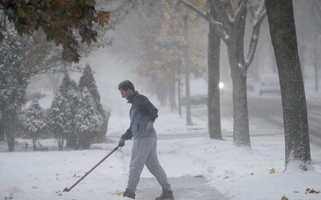
Erika Rogers frees her car from snow along Superior Street in Racine, Wisconsin on Nov. 10, 2025. Several inches of lake effect snow fell overnight covering the area. (USA Today via Reuters Connect)
Wisconsin is in store for a warmer weekend, but could see a return of Arctic air around Thanksgiving as models suggest a possible “wobble” in the polar vortex, which could push frigid air into the northern U.S.
It’s unclear whether this event will be as intense as the recent system — which brought more than 10 inches of snow to Racine and Kenosha counties — though the cold is unlikely to reach as far south as it did when record-breaking temperatures hit parts of Florida.
Forecasts from the Climate Prediction Center, which had previously projected above-normal temperatures for much of the U.S. this winter, now show below-average temperatures for roughly half the country — including Wisconsin — through the end of November. Meanwhile, the Southeast and southern Great Plains are expected to remain warmer than normal.
For the Great Lakes, the potential for more lake-effect snow is already in the forecast, and while lake-effect snow is hardly an issue, subfreezing wind chills could be.
“Slightly enhanced chances for above-median precipitation across the Great Lakes region is partly tied to possible lake effect snow events,” the Climate Prediction Center wrote on Nov. 7 about the last week of November.
What is the polar vortex?
The polar vortex is a swirling mass of frigid air high in the atmosphere that normally circles the Arctic, according to the National Weather Service. Sitting in the stratosphere, it usually keeps the coldest air locked near the North Pole.
Contrary to what its description may suggest, a weakened polar vortex can bring harsher winter weather to the U.S., while a strong vortex keeps Arctic air contained up north, leading to milder winter conditions here.
What does the polar vortex look like right now?
Right now, charts show the polar vortex is unusually weak — similar to its strength in early autumn — and could wobble south, sending Arctic air into the U.S. around Thanksgiving.
This weakness is linked to very low winds high above the Arctic, called zonal winds, which are now declining and approaching 0 m/s, a threshold that can trigger an event called major sudden stratospheric warming (SSW). These events often lead to significant cold outbreaks and even blizzards.
Note about graph: The dashed 0 m/s line marks the boundary between westerly winds (above the line), which represent a normal, intact stratospheric polar vortex, and easterly winds (below the line), which indicate a reversal of the vortex and meet the definition of a major sudden stratospheric warming if sustained. In the graph, many forecast members (blue lines) dip toward or below 0 m/s in late November, showing the potential for a significant weakening or even reversal of the 10 hPa zonal winds, compared with the typical climatological values shown in red.
The vortex’s instability is also influenced by the Quasi-Biennial Oscillation (QBO), a stratospheric wind pattern that shifts between easterly and westerly roughly every 28-29 months. When the QBO is in its easterly phase, as it is now, the vortex is more prone to wobble south.
Meanwhile, a weak La Niña in the lower atmosphere is shaping winter patterns as well. While it doesn’t directly affect the polar vortex, it can shift the jet stream, influencing where Arctic air travels and how long cold outbreaks linger. La Niña may also leave parts of the Great Lakes unfrozen, increasing the risk of lake-effect snow when Arctic air moves over open water.
Wisconsin weather forecast for Thanksgiving
From Nov. 22 to Dec. 5, forecasters expect swings between warm and cold weather across the U.S.Just ahead of the holiday, the West may be cooler than normal, while the East — including Wisconsin — could stay slightly above average. But by the end of November, Arctic air could push across the northern U.S., raising the chances of below-normal temperatures in Wisconsin and the Great Lakes.
The Climate Prediction Center notes that large-scale patterns like the Madden-Julian Oscillation (MJO), a moving pattern of tropical thunderstorms, and La Niña, a cooling of the tropical Pacific Ocean, can steer cold air southward, increasing the likelihood of Arctic air outbreaks around Thanksgiving.
Combined, these patterns are likely to mean an “increased cold air intrusion across the northern tier of the contiguous United States” around Thanksgiving, the forecast states.
For the Great Lakes region, frigid air moving over the still-warm lakes could trigger lake-effect snow.
However, Wisconsin, on the western side of the lakes, is unlikely to see significant accumulation, unlike areas directly downwind, such as western New York or Michigan, although some snow is possible over the holiday.
How soon could Arctic air hit?
While not all models agree, a noticeable chill is expected, even if it doesn’t amount to a full Arctic blast. The polar vortex is expected to begin weakening as early as next week.
Because it takes several days for changes in the stratosphere to impact surface weather, Arctic air could begin spilling south around Thanksgiving, Nov. 27, bringing the first taste of cold and potentially triggering lake-effect snow over the Great Lakes.
The coldest conditions are likely to arrive a few days later, in early December — about 10 days after the stratospheric warming peaks.
Wisconsin weather watches and warnings
Stay informed. Get weather alerts via text.
Brandi D. Addison covers weather across the United States as the Weather Connect Reporter for the USA TODAY Network. She can be reached at [email protected]. Find her on Facebook here.
This article originally appeared on Milwaukee Journal Sentinel: Is more Arctic air coming? Snow, harsh freeze possible in Wisconsin for Thanksgiving
Reporting by Brandi D. Addison, USA TODAY NETWORK / Milwaukee Journal Sentinel
USA TODAY Network via Reuters Connect
Author
Wisconsin wellness tips: Staying safe this winter
How to stay safe and warm this winter in Wisconsin. If you’ve lived any amount of time in Wisconsin, you know winters can pose serious risks to the...
How will La Niña impact Wisconsin winter? It depends where you live, NWS says
La Niña is back, but it won’t affect all of Wisconsin the same way. The National Oceanic and Atmospheric Administration has warned for months about...
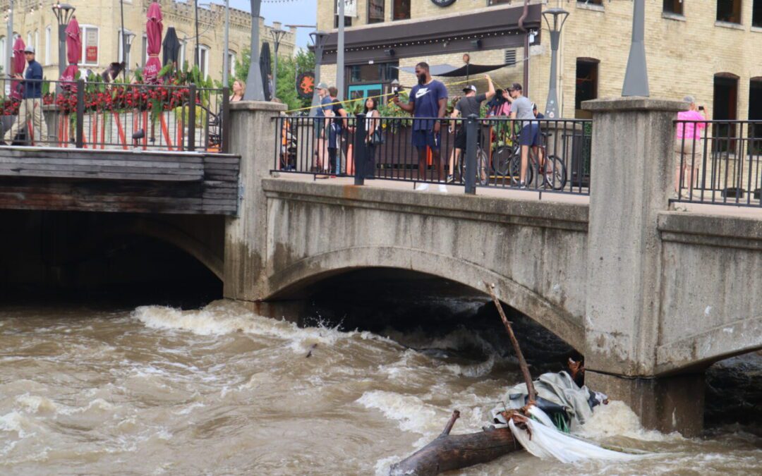
Record-shattering flood hits Milwaukee County
By: Isiah Holmes Neighborhoods across Milwaukee County are continuing to recover from record-shattering flooding over the weekend. Inundated...

Political grudges, conspiracy theories could undermine disaster relief under Trump
Donald Trump’s history of punishing disloyalty and Republicans’ amplification of conspiracy theories could undermine disaster relief efforts if...