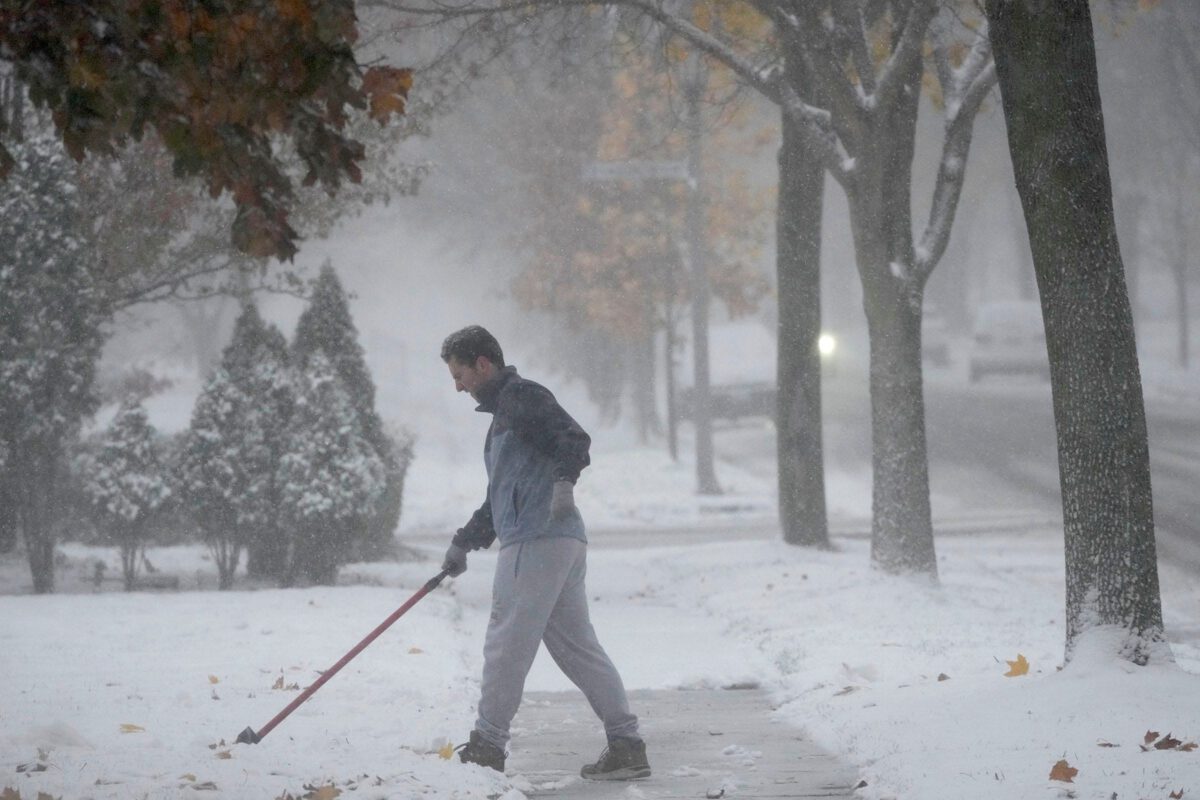
A man shovels his driveway on N. Bay Ridge Ave. in Whitefish Bay on Thursday, Nov. 21, 2024. (USA Today via Reuters Connect)
La Niña is back, but it won’t affect all of Wisconsin the same way.
The National Oceanic and Atmospheric Administration has warned for months about the possibility of La Niña returning, and conditions have now shifted from neutral ocean temperatures to a weak La Niña pattern across the central and eastern Pacific.
“La Niña conditions are present and favored to persist through December 2025 – February 2026,” NOAA says.
Historically, La Niña influences the jet stream, directing colder air into the northern U.S. and often contributing to slightly wetter conditions across the Upper Mississippi Valley. Similar patterns can occur across the Great Lakes, New York and New England, where the risk of lake-effect snow off the Great Lakes is elevated.
Here’s what the winter forecast looks like for Wisconsin.
What is La Niña?
La Niña, translating to “Little Girl” in Spanish, is the periodic cooling of ocean surface temperatures in the central and east-central Pacific, according to NOAA.
Episodes of La Niña and its opposing climate pattern, El Niño, generally last nine to 12 months but can extend longer. The two patterns typically alternate back and forth and occur every two to seven years, though there is no regular schedule to them.
In terms of weather impacts, La Niña tends to lead to a warmer winter and drought in the Southern U.S., heavy rains in the Pacific Northwest and cooler temperatures in the North. It also often leads to a more severe hurricane season.
How will La Niña conditions affect Wisconsin this winter?
Because this La Niña is weak, forecasters do not expect it to have a major impact on Wisconsin’s winter overall. Still, combined with a wind pattern called the Quasi-Biennial Oscillation, there’s a slightly higher chance of short bursts of Arctic air spilling into the northern U.S., according to the Climate Prediction Center.
The QBO is a wind pattern high in the stratosphere, about 10–30 miles above the Earth’s surface — above the troposphere, the layer where most of the weather we see occurs. The oscillation pattern shifts directions every 28 to 29 months, and even though it sits over the tropics, can impact conditions in the northern U.S and Canada. When it’s in its easterly phase, it can weaken the polar vortex, making the jet stream less steady and pushing frigid Arctic air farther south.
As a result, central and north-central Wisconsin could see sharper cold spells and bursts with a higher chance of snow.
By region, this is what to expect across Wisconsin this winter, according to the National Weather Service office in La Crosse.
- North-central and central Wisconsin: Colder-than-normal temperatures are most likely, with precipitation slightly above average. Snowfall could be near or just below normal depending on storm tracks.
- West-central Wisconsin: Similar outlook — colder temperatures dominate, with a slight edge toward wetter conditions.
- Southeast Wisconsin: Temperatures are generally near normal, with precipitation slightly above average. Snowfall could be modest.
- Southwest Wisconsin: Forecasts are uncertain. Temperatures have equal chances of being below, near or above normal, and precipitation is also variable.
The Climate Prediction Center shows equal chances for below- or above-normal temperatures across Wisconsin, and above-normal chances for precipitation across the state.
Because Wisconsin lies on the western side of the Great Lakes, the state is unlikely to see significant lake-effect snow, unlike areas directly downwind such as western New York or Michigan.
When is the first snow expected in Wisconsin?
Average first snowfall in Milwaukee
- Average first snowfall: Nov. 2
- Earliest first snowfall recorded: Sept. 23, 1942
- Latest first snowfall recorded: Dec. 5, 1999
Average first snowfall in Madison
- Average first snowfall: Oct. 27
- Earliest first snowfall recorded: Sept. 23, 1928
- Latest first snowfall recorded: Nov. 28, 1994
Average first snowfall in Appleton
- Average first snowfall: Nov. 15
- Earliest first snowfall recorded: Oct. 10, 1990
- Latest first snowfall recorded: Dec. 19, 1965
Average first snowfall in Green Bay
- Average first snowfall: Nov. 13
- Earliest first snowfall recorded: Oct. 9, 1925
- Latest first snowfall recorded: Dec. 30, 1923
Wisconsin weather watches and warnings
Stay informed. Get weather alerts via text.
Brandi D. Addison covers weather across the United States as the Weather Connect Reporter for the USA TODAY Network. She can be reached at [email protected].
This article originally appeared on Milwaukee Journal Sentinel: How will La Niña impact Wisconsin winter? It depends where you live, NWS says
Reporting by Maia Pandey and Brandi D. Addison, USA TODAY NETWORK / Milwaukee Journal Sentinel
USA TODAY Network via Reuters Connect
Can severe cold cause exploding trees? Kind of. They’re frost cracks
As Wisconsin and much of the upper Midwest prepares for rapidly dropping subzero temperatures, some viral social media posts warn people to watch...
What will the weather be like in Wisconsin on Christmas Eve and Christmas Day?
If you were dreaming of a white Christmas, you may be out of luck if you live in southern Wisconsin. A mix of rain and snow is likely Monday...
Wisconsin wellness tips: Staying safe this winter
How to stay safe and warm this winter in Wisconsin. If you’ve lived any amount of time in Wisconsin, you know winters can pose serious risks to the...

Is more Arctic air coming? Snow, harsh freeze possible in Wisconsin for Thanksgiving
Wisconsin is in store for a warmer weekend, but could see a return of Arctic air around Thanksgiving as models suggest a possible "wobble" in the...


