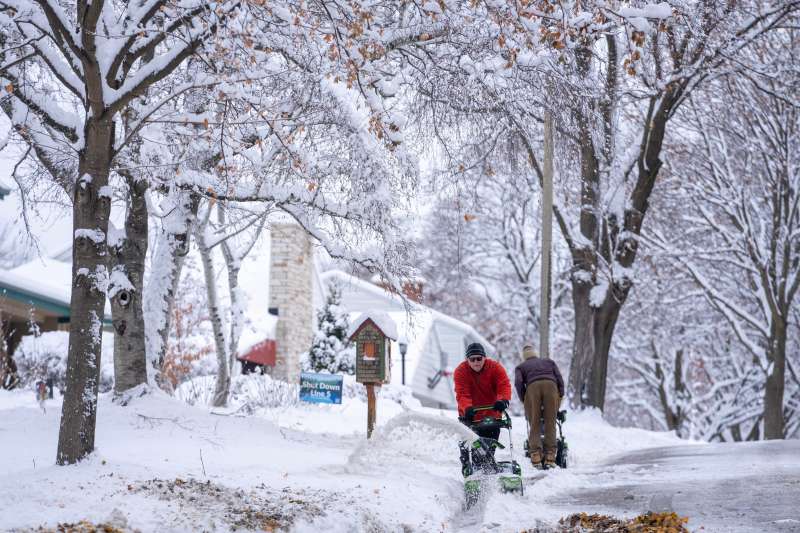
The state’s first snowfall of the season can vary widely from year to year, according to the National Weather Service. It isn’t unusual for the first snowfall to happen as early as mid- to late September in far northern Wisconsin. For example, in Lac Vieux Desert, near the Upper Michigan border, the earliest measurable snowfall on record took place Sept. 7, 1983.
In Milwaukee, the record for earliest snowfall was set Sept. 23, 1942, when trace amounts fell in the city, while the latest was Dec. 5, 1999, according to the weather service. But on average, Milwaukee’s first trace of snowfall happens around early November.
The Wisconsin State Climatology Office lists several statewide records for unseasonable snowfalls elsewhere in the state, including trace amounts of ice that fell in Washington County in July 2022 and Pierce County in August 2022. Eau Claire recorded a half-inch of snow on June 4, 1907. The state’s record one-day snowfall for the month of September was set Sept. 22, 1995, when 6 inches fell in Iron County.
When was the earliest snowfall on record for Wisconsin cities?
Here are the earliest snowfalls on record for different Wisconsin cities, along with the average date each receives its first measurable snowfall, according to the National Weather Service.
Appleton
- Earliest: Oct. 10, 1990
- Average: Nov. 15
Green Bay
- Earliest: Oct. 9, 1925
- Average: Nov. 13
Milwaukee
- Earliest: Sept. 23, 1942
- Average: Nov. 2
Madison
- Earliest: Sept. 23, 1928
- Average: Oct. 27
Wausau
- Earliest: Sept. 26, 1942
- Average: Nov. 3
What are the snowiest months in Milwaukee history?
- 52.6 inches in January 1918
- 51.2 inches in January 1886
- 49.5 inches in December 2000
What are the snowiest years in Milwaukee history?
- 110.3 inches in 1886
- 106.6 inches in 2008
- 88.1 inches in 1951
This article originally appeared on Milwaukee Journal Sentinel: Could Wisconsin get snow in September? It has happened before
USA TODAY Network via Reuters Connect